


Geosciences 2024, 14(6), 141; https://doi.org/10.3390/geosciences14060141 - 23 May 2024
Abstract
In the digital era, highlighting the heritage resources of a mountainous region involves describing and advertising them to promote their visibility and attractiveness. Previous studies mainly assess the natural resources of such regions through a multi-indicator descriptive evaluation. This study aims to develop
[...] Read more.
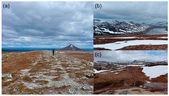
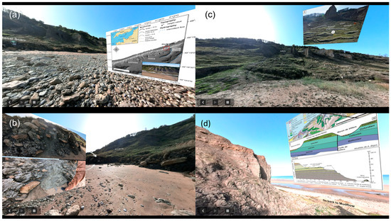
In the digital era, highlighting the heritage resources of a mountainous region involves describing and advertising them to promote their visibility and attractiveness. Previous studies mainly assess the natural resources of such regions through a multi-indicator descriptive evaluation. This study aims to develop an effective evaluation of such indicators along the main tourist route of the M’Goun UNESCO Global Geopark, located in the central High Atlas of Morocco. The implementation of an experiential method to assess the tourism characteristics of this region is a notable aspect of our study. It includes analyzing the criteria for choosing this destination by segmenting tourists’ consumption experiences. Statistical data analysis has identified five dimensions of destination choice and four visitor groups. Additionally, we created an interactive map and made it accessible online to promote the natural geoheritage of this region. This article proposes to discuss the findings of this research and their applicability in terms of tourism destination management and decision-making, which can assist local governments in allocating tourism resources and land use rationally.
Full article
(This article belongs to the Special Issue Geoparks: Exploring New Trends in Geoeducation and Geotourism Perspectives)
►
Show Figures

Figure 1


